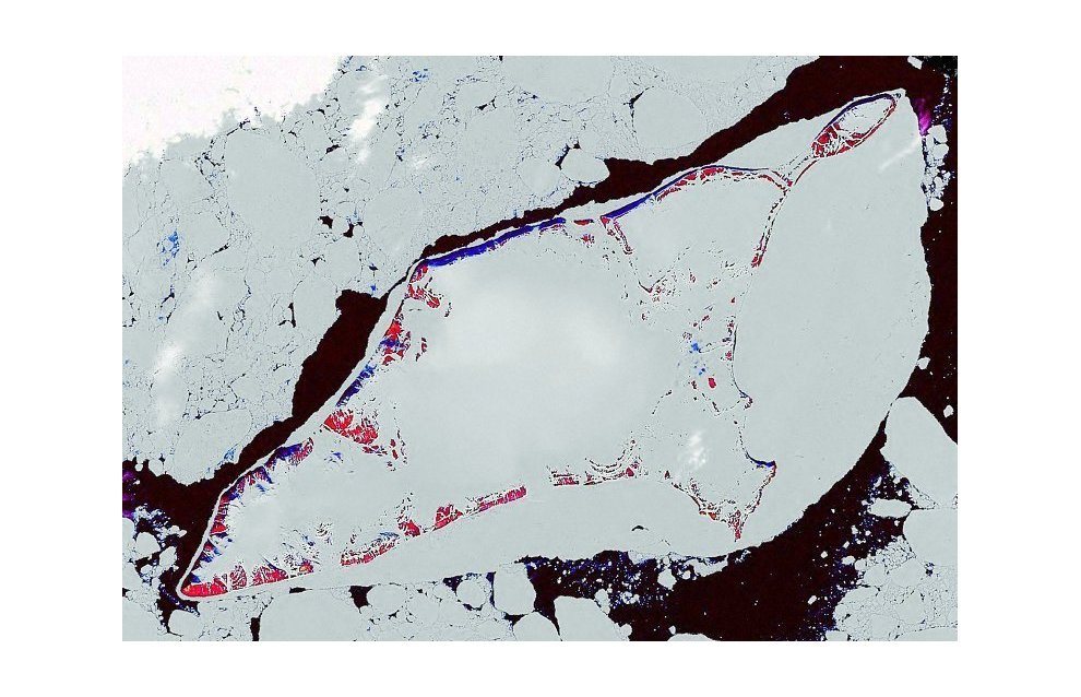
Russian hydrographers specify Russian shelf coordinates near Bennett Island
A hydrographic team with the Russian Northern Fleet has specified the coordinates of the Russian marine shelf near Bennett Island, which is located in the East Siberian Sea to the north of Yakutia, a spokesperson for the Northern Fleet, Vadim Serga, said.
"A hydrographic team went to Bennett Island on the rescue vessel Pamir and conducted research to specify the coordinates for the basic reference lines to be used to determine the limits of the territorial sea waters, the exclusive economic area, and the Russian continental shelf in the Arctic Ocean," Serga said as quoted by the Rossiya Segodnya news agency.
He added that the vessel's route lay in areas that are poorly explored by hydrographers, and the expedition used the opportunity to gather new information.
Additionally, the hydrographers are studying the sea bottom's layout in areas that are located far from the fleet's Arctic bases. They are also working to obtain more detailed information to use in navigational maps and also safe Arctic navigation guidelines.
Bennett Island is in the De Long Island group in the East Siberian Sea, located in the northeastern part of the New Siberian Islands.
Its 150 square kilometer area is almost entirely covered in ice.
The island was discovered in 1881 by an American expedition led by George De Long and was named after James Bennett who funded the expedition.
