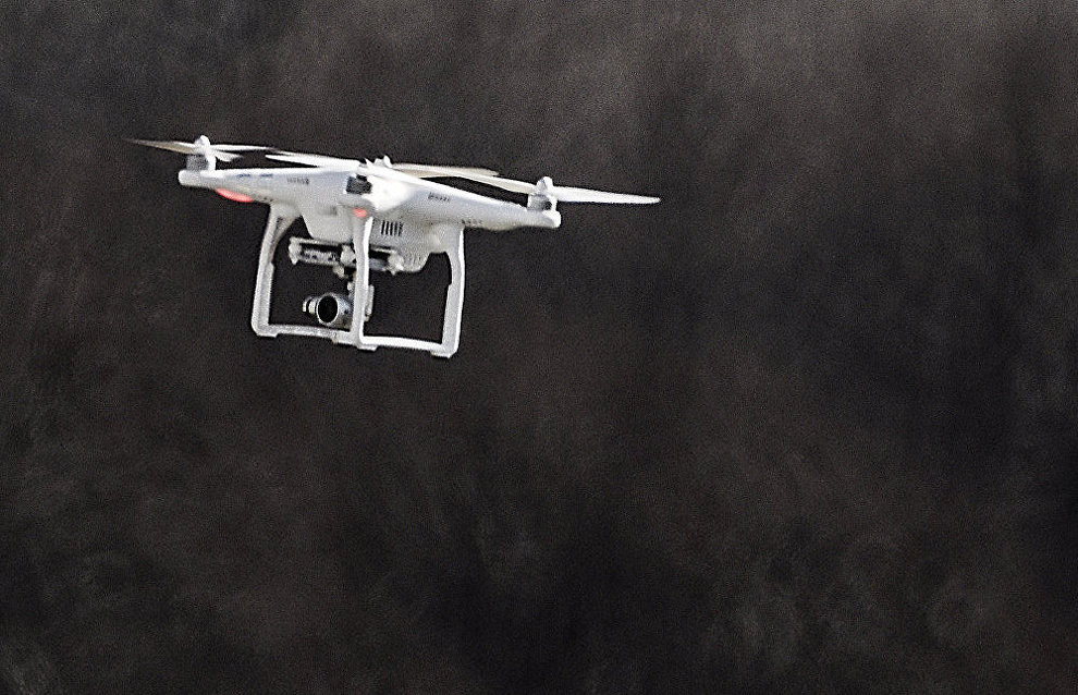
Scientists conduct first aerial photography shoot of Samoilovsky Island
A drone took the first-ever aerial images of Samoilovsky Island in Yakutia this summer, Alexei Fage, head of the field team of the Institute of Petroleum-Gas Geology and Geophysics of the Siberian branch of the Russian Academy of Sciences, told RIA Novosti.
"This year, we used traditional geophysical methods, plus aerial photography using a drone for the first time. The drone took images of a 32 square kilometer area from an altitude of 200 meters," Fage said. The area map has a resolution of about 100 giga-pixels and makes it possible to study the local terrain in great detail.
Various experts specializing in permafrost studies can use drone photos, he said. By superimposing these HD maps on available geophysical maps, scientists will be able to find out what features of the terrain correspond to underground cracks, ice floes and other formations and to study them in greater detail.
"The local environment mostly consists of ice, and the surface changes quickly when the ice begins to melt. By conducting such high-precision aerial photography each year, we will locate melting ice sections and places emitting the greatest amount of gas into the atmosphere and so on," explained Mikhail Epov, director of the Institute of Petroleum-Gas Geology and Geophysics. Scientists believe that these aerial photos will considerably enrich data obtained by various researchers, including climatologists, involved in Arctic studies.
The Samoilovsky Island station that opened in the autumn of 2013 implements multi-faceted research projects, with Russian and foreign permafrost experts, archeologists, geologists, ecologists, climatologists and other scientists working there.
