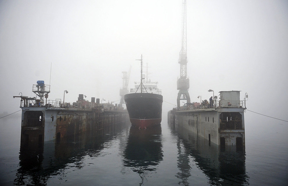
Hydrographic survey vessel Gorizont defines borders of Russia’s shelf in the Arctic
The crew of the Northern Fleet’s hydrographic survey vessel Gorizont has specified the coordinates of the Russian border. During comprehensive oceanographic surveys, they took photos of over 11,000 km of the ocean floor, and collected water and bottom samples in the Barents and Kara seas.
“We measured the depths and specified the coordinates of the critical points. These are the coordinates of the Russian border,” said Captain of the Gorizont Vitaly Khopryachkov.
The crew conducted surveys in the area of Franz Josef Land over the past two months. Now the Gorizont is back in the village of Mishukovo (Murmansk Region), the base of the Northern Fleet’s hydrographic survey vessels.
The press service also reported that the hydrographic survey vessel Romuald Muklevich returned to Murmansk last week. As part of the Northern Fleet and the Russian Geographical Society’s joint expedition, its crew explored the coast off Severny Island of the Novaya Zemlya Archipelago and the continental coast, where the Northern convoys sailed during the Great Patriotic War.
