First Wave and Wind Energy Resource Atlas of Russian Seas
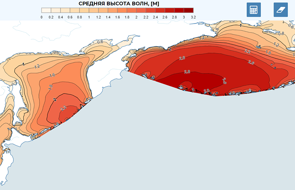
Specialists at Lomonosov Moscow State University geographical faculty have published a web-atlas of available wave and wind energy for the coastal zones on the Russian seas on an open domain. Now users can access information on the spatial distribution of wave and wind energy in the following seas: Barents, Kara, Japan, Okhotsk, Bering, Black, Caspian, Azov and Baltic. The atlas contains information on the main parameters of wind-generated sea waves: the amount of average wave energy and the maximum wave height in Russia's various seas.
"The main goal of the web-atlas is to provide any interested users with the information to determine the amount of wave and wind energy at a particular point. For instance, if you want to put up an electric power plant on the coast, the atlas will help you choose a place with enough wave and wind energy and make sure the highest waves will not destroy it. Our web-atlas already allows users to design different combinations of wave and wind generators," said Stanislav Myslenkov, project coordinator and senior research fellow of the oceanology chair at Lomonosov Moscow State University.
To compile the atlas, specialists used the results of modelling the parameters of wind waves. The information on wind energy was based on high resolution reanalysis. The latest information was loaded into a GIS digital format that allows the specialists to visualize the required parameters online.
Currently, researchers are continuing to supplement their data bases to further develop the cartographic web-interface to visualize these parameters as graphically as possible, to calculate the main statistical characteristics, and to create graphic representations.
This project is being implemented with financial support from the Russian Geographical Society (RGS), a Russian public organization.
